| |
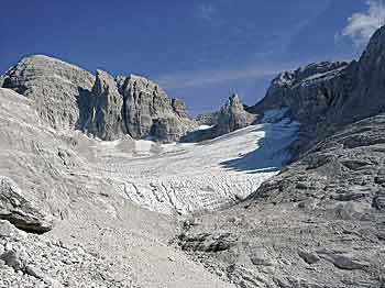
Campanil Basso, Bus de la Spia, Rio Bianco Waterfall, Vallesinella Springs, Forra del Limarò, Adamello Glacier – Mandrone, Lake Tovel. These are only some of the geosites singled out in the territory of the Adamello Brenta Nature Park; natural architecture that bears witness to the processes which formed and shaped our Planet and that allows us to understand the geological history of a region. Natural architecture that, in its splendour, constitutes the geological “work” of the Park. It is precisely because of this non-renewable natural wealth, which is a resource to study and assess as an exceptionally important component that must be protected and saved, that the Park has decided to apply to the European Geoparks Network and World UNESCO. The aim of this is to be able to ensure that geological heritage is not for a few, but for everyone.
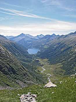
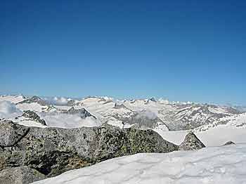
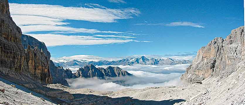
According to the definition, a European Geopark is a territory that has a particular geological heritage and a sustainable development strategy. The Geopark must have well-defined boundaries and be sufficiently large to allow efficient economic development of the territory in question, which includes both the protected area itself and the Communes within it, covering an area of 1,146 km2. It must also have a certain number of geosites of particular importance for their scientific attributes, rarities and aesthetic attraction or educational value. A geopark must also contain sites of archaeological, environmental, historical or cultural interest.From the definition, it therefore emerges how the territory making the application has all the necessary features to be recognised as a Geopark. One distinctive and unique element is that two completely different geological and geomorphologic worlds exist side by side here: on the one hand, the sedimentary rocks of the Brenta Dolomites that have been profoundly shaped by the karst phenomenon, on the other the crystalline rocks of the Adamello-Presanella Range, characterised by the strong presence of glacial phenomena. A territory that stands out, therefore, on account of its rich geodiversity.
Joining the Network would be a new opportunity to evaluate the area’s geological heritage, with a clear strategy that combines conservation and assessment, and protection and sustainable development. Membership of the Network will also allow improvement and continual growth, thanks to the exchange of shared experiences with the other Geoparks.
As the “European Manifesto on Geological Heritage and Geodiversity” states: “Geological heritage for our present and for our future: geodiversity as a link between the Earth, peoples and their cultures, as a foundation of European society, as an essential part of the natural European heritage (together with landscapes, important shapes, rocks, soils, minerals, fossils and waters); as a natural gift to be saved also for future generations.”
The Global UNESCO Network of geoparks
In February 2004, the Global UNESCO Network of Geoparks was set up in Paris with the aim of achieving three main objectives: protecting the environment, promoting the teaching of Earth Sciences and fostering sustainable economic growth at a local level. It was also decided to include the existing 17 European Geoparks and the 8 Chinese ones in the new global Network. In 2004, during the 5th Meeting of the European Geoparks, an agreement was stipulated between the UNESCO Division of Earth Sciences and the European Geoparks network, according to which any European territory that wishes to become a member of the Global UNESCO Network of Geoparks must present a formal application to the European Geoparks network. This organisation acts an additional part of the UNESCO network for the European continent. The Third UNESCO World Conference on Geoparks will take place 22-26 June 2008 at the Osnabruck Terra-Vita Geopark.
|
|
